Faculty of Engineering discusses master's thesis on the evaluation of the irrigation network for the dujaila narrative project using geomatic techniques
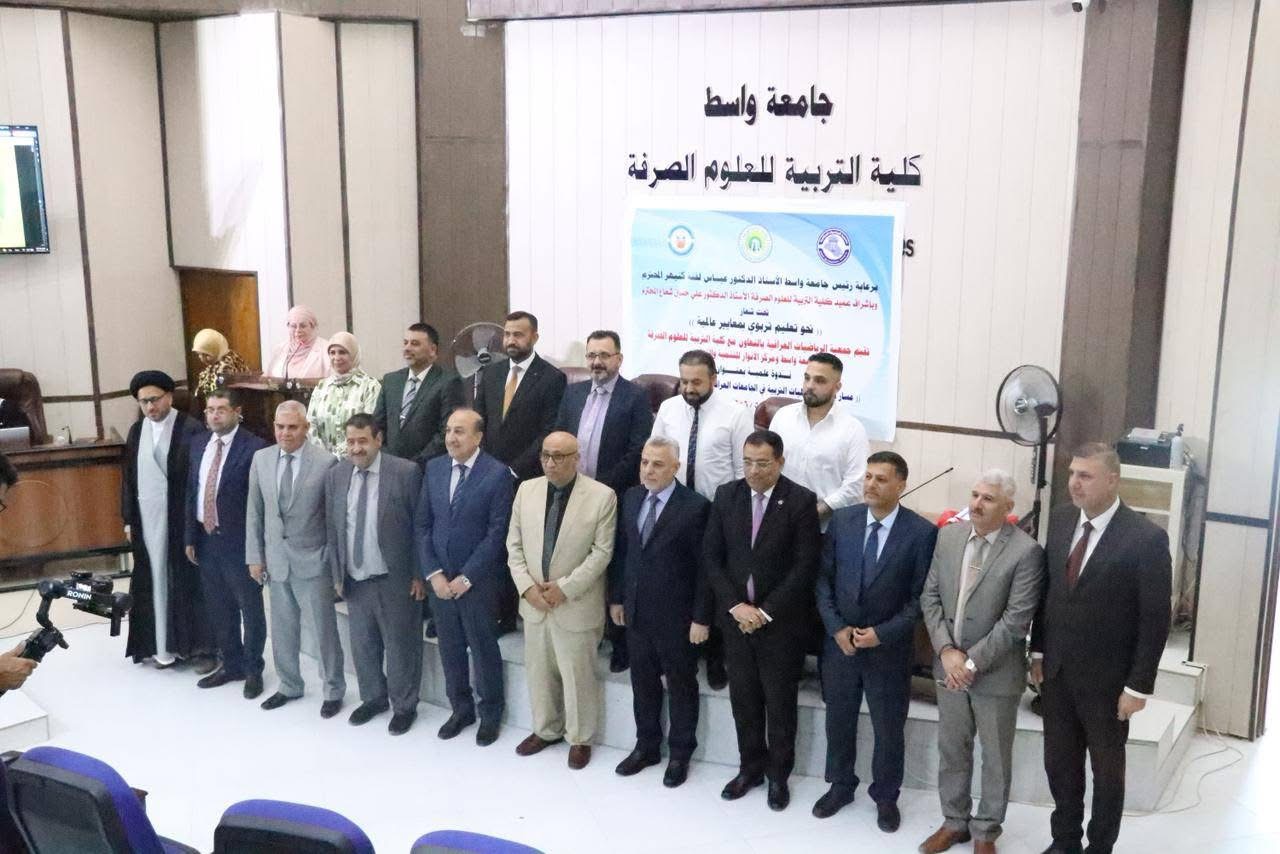
At wasit University's Faculty of Engineering, I discussed a master's thesis entitled "Evaluating the irrigation network of the Dujaila narrative project using geomatic techniques".
The letter, presented by student Ihab Fahem Nema, aims to assess the overall water needs of the Dujaila irrigation project, as the importance of calculating evaporation-erosion in the management of water resources and the agricultural situation because of its significant role in the hydrological cycle
The letter included the study of the Dujaila irrigation project, which is considered one of the old projects in Iraq located in the south of Wasit province, and because of the loss of data and water scarcity after 2003, the project was not well assessed in terms of the required expenses and the performance of the main channels.
Search results using the statistical indicator showed an average absolute error rate (MAPE) of 11% when comparing evaporation values – the actual ETc calculated using the standard Penman-Monteith method and the Penman-Monteith method based on satellite imagery. Hargreaves, Blaney Criddle, Jensen-Haiseo (Kharrufa) were used in addition to the PM-RS method of estimating reference evaporation (ETo) where they were compared with the standard Penman-Monteith equation and the MAPE absolute error rate (25, 63, 22, 46 and 12.7%), respectively, gave the PM-RS equation the lowest error rate and greater accuracy.
The research calculated the total water required for irrigation, reaching (2.61 cubic meters/s) for the summer season and (35.34 cubic meters/s) for winter for agriculture. The highest value of total irrigation water in March was 21.31 cubic meters per second. A timetable has also been set for irrigation to ensure better water management in the study area and the delivery of the largest amount of water to crops.

40Khalid Alnuaimi, Assaad Majid Al-Delfi and 38 other people
7 comments
One post
I like it.
comment
Participation


