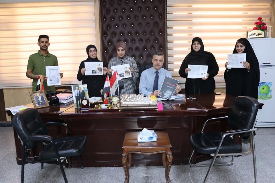
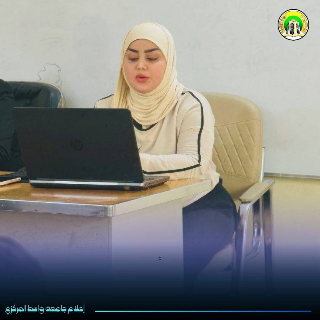
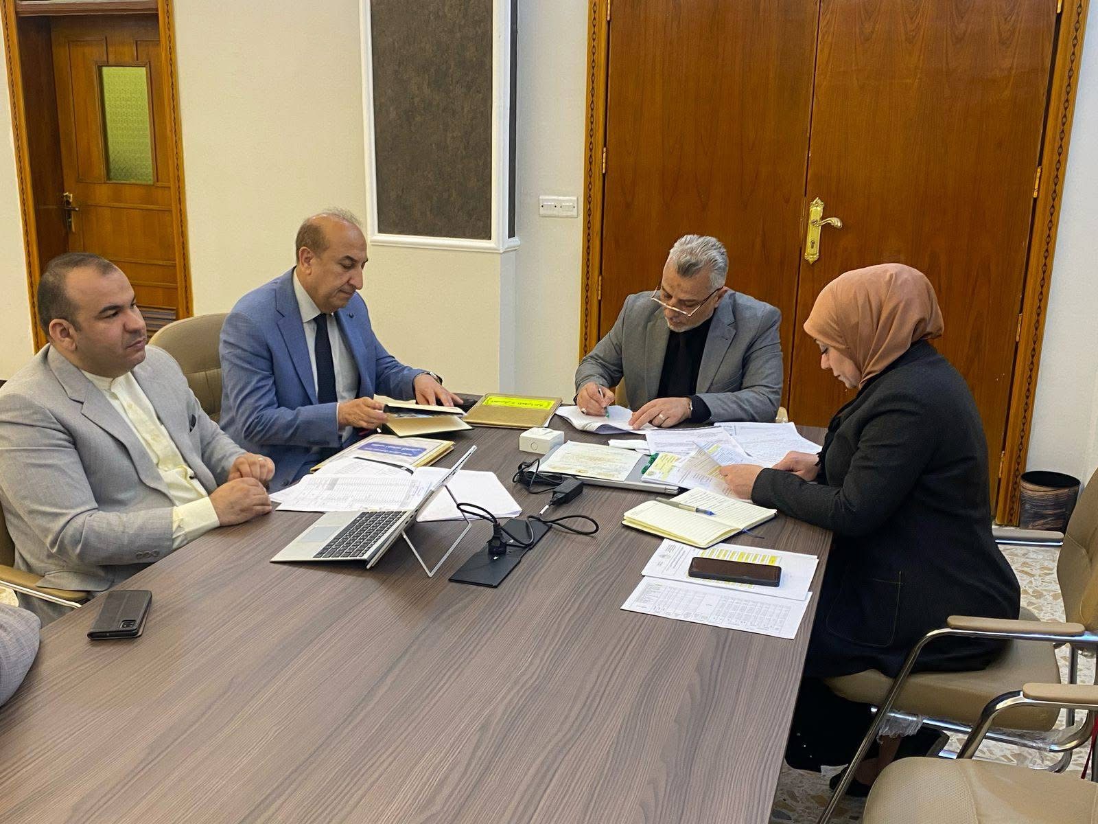
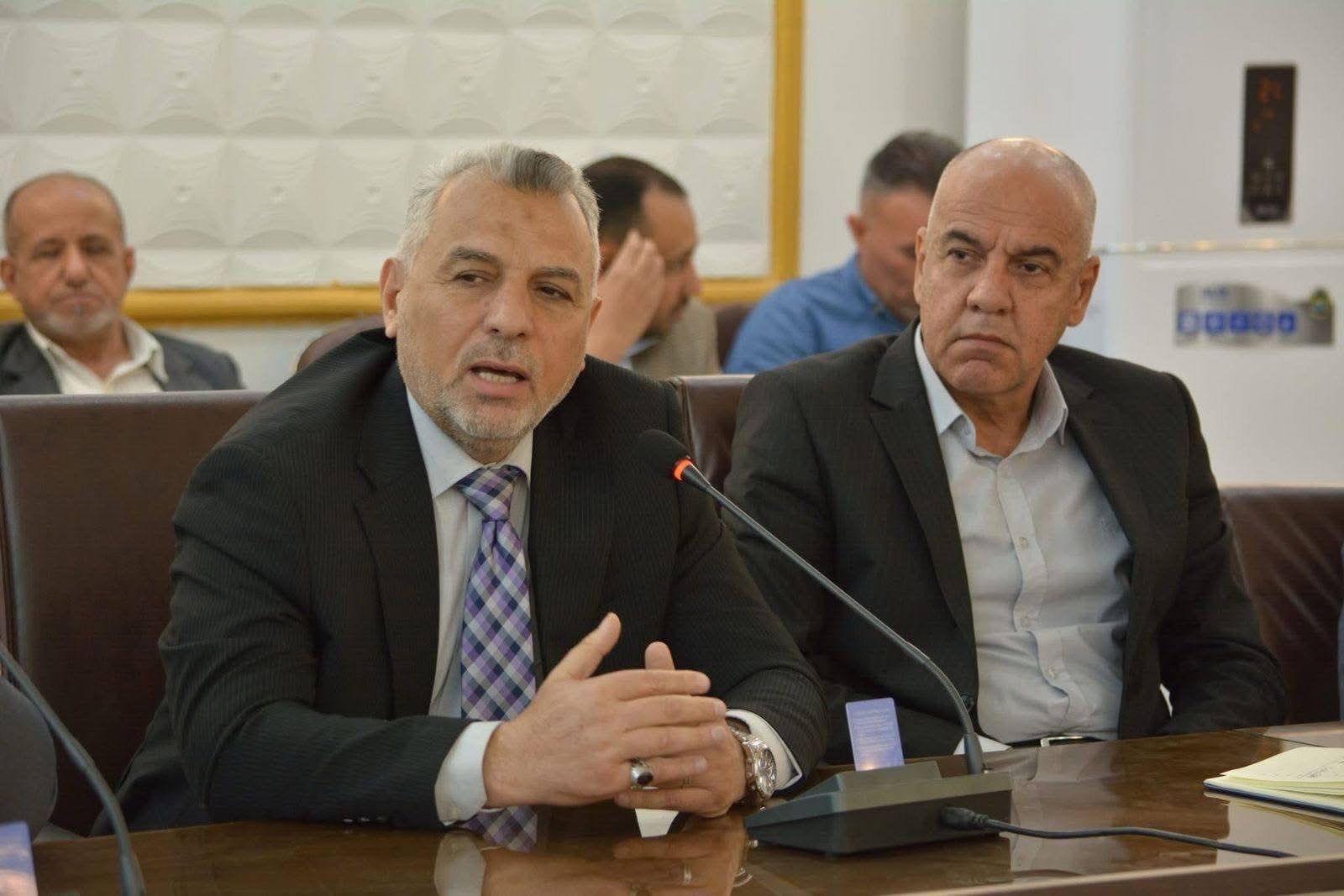
Wasit University discusses master's thesis entitled Hydrological Modelling of the Great Basin using the HEC-HMS model))
The letter, prepared by the student (Tabarak Jamil Abdullah), was discussed by the Faculty of Engineering at Wasit University with a master's thesis entitled "Hydrological modelling of the Great Basin using the HEC-HMS model".The letter prepared by the student (Tabarak Jamil Abdullah) aims to study rivers as one of the most important studies in hydrology because it is a basic criterion for planning in the areas where these rivers pass, in order to provide water for various uses, whether for human, agricultural, industrial or electrical energy generation, and their importance has evolved, especially after the increase in demand. on water because of the great population growth. The letter made it clear that it is very necessary to determine the size of the discharge in order to develop many plans that will help control this discharge in the period of surplus and use it in time of scarcity, that one of the tributaries of the Tigris River is the River Azim, located on the northeastern border of Iraq exactly between the lines (20.31.4 5.19.42.44) to the east, latitudes (28,8,35,20,43.35) to the north, the total area of the basin is 11,908 square kilometers, located entirely within the Iraqi border, passes through the area Trapped between the Lower Zab watershed in the north and the Diyala River in the south, runoff was simulated using the Hydrological Engineering Center-Hydrological Modeling System (HEC-HMS) program in conjunction with the GeC-GIS programme. Watersheds have been identified, specifications and time step for the operation of the simulation, and a soil maintenance curved method (SCS-CH) has been selected to estimate rainfall losses and the Soil Maintenance Unit Hydrocraph (SCS-UH) scheme method for calculating water converted into surface runoff. The results showed that NASA required rainfall data for five rain measurement stations and the entire discharge data were collected based on the Iraqi Ministry of Water Resources (IMOWR). The simulation was conducted for six consecutive years, four years of simulation, from 1991 to 1994, and two years to validate the model from (1995-1996) and the results were compared with the real data for the same period, as there is a difference between the observed peak flows and the simulation so a typical calibration was performed in an improvement manner, as the calibration result showed that the curve number (CN) is a sensitive factor.

64643 CommentsShareSadipedsseq
Related
